E.China’s provinces launch emergency response as typhoons Co-may and Francisco anticipated to trigger Fujiwhara Effect
East China's Fujian Province initiated a Level IV emergency response for typhoon prevention while Zhejiang Province elevated its maritime typhoon emergency response to Level IV on Thursday afternoon in preparation for this year's 7th Typhoon Francisco approaching the coastal areas.
When the typhoon gradually affects Fujian's fishing grounds and northern coastal areas, the maximum winds are expected to reach force 7-8 with waves of 3-4.8 meters (ranging from rough to very high), Guangming Daily reported Thursday.
According to Zhejiang local media, the typhoon is projected to enter the southern East China Sea on Thursday night and weaken into a tropical depression by Saturday.
Both provinces have issued typhoon warnings, mandating fishing vessels to return to port, suspending leisure fishing operations, evacuating offshore aquaculture personnel and reinforcing seawalls against storm surges. Zhejiang has dispatched inspection teams to supervise the implementation of defensive measures in coastal regions, media reported.
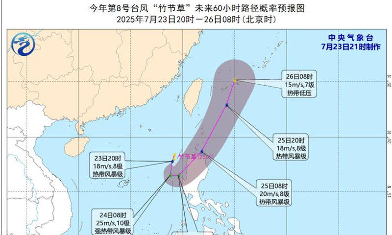
At the same time, the tropical depression in the South China Sea intensified into this year's 8th typhoon Co-may on Wednesday night. On Thursday morning, Co-may and Francisco are located less than 1,300 kilometers apart and are expected to move closer to each other, potentially triggering the Fujiwhara Effect - a meteorological phenomenon where two tropical cyclones within 1,000-1,500 kilometers of each other begin to interact, causing mutual rotation or even merging, China News Service reported Thursday.
The name of Co-may, meaning a type of grass in Vietnamese, is being used for the first time to replace the retired name Lekima.
According to forecasts, Co-may will initially move southward at 10-15 kilometers per hour while gradually intensifying, before shifting to a northeastward trajectory on Thursday afternoon. The typhoon is expected to approach the northwestern coast of Luzon Island in the Philippines, making landfall between Thursday night and Friday morning, then entering the Bashi Channel and moving toward waters east of Taiwan island while gradually weakening, according to the China News Service.
The China Meteorological Administration predicts Co-may could reach severe tropical storm intensity, with its primary impact being strong winds over maritime areas. Over the next three days, parts of the eastern South China Sea may experience winds reaching force 9-11 with gusts up to force 12-13.
The Straits Times reported Thursday that the Philippines has shut down schools and cancelled flights as torrential rains brought by Typhoon Co-may and a separate tropical storm pounded the northern island of Luzon.
Typhoon Co-may follows days of monsoon rains that have killed at least 12 people and left eight others missing across the archipelago since July 18, The Straits Times reported, citing the Philippine national disaster agency.
On Thursday, the Chinese Embassy in the Philippines issued a notice, advising Chinese citizens in the country to take precautions against typhoons and torrential rains.
According to the embassy, the Philippines has entered its typhoon season, with persistent heavy rainfall triggering floods, landslides and other disasters in multiple regions, causing casualties and property damage. The Philippine Atmospheric, Geophysical and Astronomical Services Administration has issued a red rainfall warning for Metro Manila and surrounding areas. The embassy advises all Chinese nationals to take necessary precautions to ensure their personal and property safety.
Also, at 6 am on Thursday, the CMA continued its blue typhoon warning for Typhoon Francisco, which as of 5 am was centered approximately 830 kilometers east-southeast of the Zhejiang-Fujian border with maximum sustained winds of force 8 (20 m/s) and a minimum central pressure of 995 hPa, with gale-force winds extending 100-260 kilometers from its center.
Zhejiang's provincial media outlet Qianjiang Evening News reported Thursday that analysis of the typhoon's path indicates that Francisco will have greater impact on Zhejiang, as it is expected to enter the southern East China Sea Thursday evening and approach coastal areas between southern Zhejiang and northern Fujian while gradually weakening.
In response, Zhejiang activated its maritime typhoon emergency response at 3:00 pm Wednesday, with coastal authorities instructed to closely monitor the typhoon's development, and implement various preventive measures including evacuating high-risk vessels, securing docked fishing boats, suspending maritime routes, halting construction projects, and closing coastal tourist sites.
Qianjiang Evening News, citing the Zhejiang Meteorological Bureau, reported that the main impacts on Zhejiang will include coastal winds reaching force 8-9 Thursday and Friday, followed by moderate to heavy rain with some torrential rainfall in coastal areas over the next two days, along with scattered showers and thunderstorms in inland regions.
The meteorological bureau warned that southeastern Zhejiang has experienced frequent heavy rainfall recently with high accumulated precipitation, and that coastal areas may face further intense rainfall over the next four days, significantly increasing risks of secondary disasters such as landslides, flash floods in small watersheds, and urban water-logging.